



India does not have one climate typology. It has more than 290 days of extreme weather events and thousands of local ones.
A coastal village in Odisha preparing for a cyclone faces a very different decision-making reality from a drought-prone Gram Panchayat in Rajasthan, a flood-prone community in Assam, and a heat-stressed neighbourhood in Delhi. Yet, climate intelligence continues to be largely driven by global, national, and state-level models.
These models are essential, but increasingly they cannot answer the question that matters most to communities, local administrators, and local businesses and supply chains: What is likely to happen in the area of my interest and what should we do about it?
The urgency is evident. The Council on Energy, Environment and Water (CEEW) estimates that more than 80% of Indians live in districts highly vulnerable to extreme hydro-meteorological disasters, while over 75% of districts are hotspots for extreme climate events. Climate change is therefore not simply an environmental challenge. It is increasingly a local economic, infrastructure, livelihood and governance challenge.
From climate models to climate decisions
India generates enormous volumes of climate, socio-economic and development data—from weather forecasts and satellite imagery to hydrology, agriculture, land use, infrastructure, IoT sensors and socio-economic databases. The challenge is converting these fragmented datasets into actionable intelligence, and actionable intelligence into funded on-ground interventions.
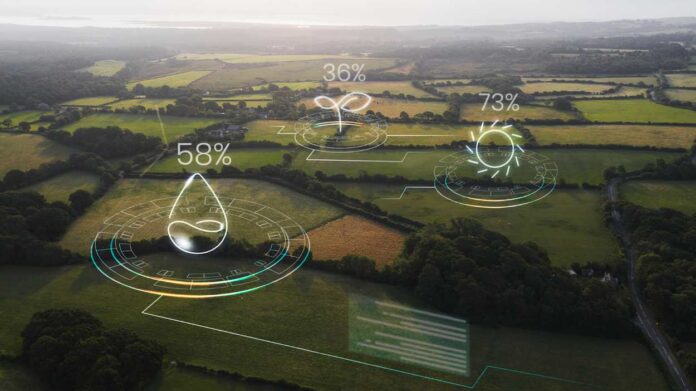
Artificial Intelligence (AI) and Machine Learning (ML) could become transformational by integrating multi-science datasets and know-how to create hyper-local context, dynamic analysis, and near real-time intelligence.
Instead of merely warning that heavy rainfall is approaching a district, such a system could identify which pockets in a village, city, or town may flood, which roads and electricity assets are vulnerable, which households require evacuation assistance, and where pumps, shelters, or emergency resources should be positioned.
For farmers, the same architecture could provide hyper-local intelligence on rainfall, soil moisture, irrigation, crop selection, pest outbreaks, and drought risk. The objective is to move from simply forecasting hazards to quantifying the impact by placing intelligence where decisions are made.
India already possesses a powerful delivery mechanism: its decentralised governance system. Gram Panchayats, Urban Local Bodies and district administrations are closest to vulnerable communities and are often the first institutions expected to act during natural events.
Yet many operate without the real-time intelligence necessary for anticipatory action within 90-days horizon and annual risk mitigation planning. ML-powered climate platforms could transform Village Disaster Management Plans and Gram Panchayat Development Plans from largely periodic planning exercises into living resilience systems.
A Panchayat could see its flood zones, vulnerable households, water resources, critical infrastructure, evacuation routes, and agricultural risks on one continuously updated geospatial platform and receive recommended interventions as conditions change. This could fundamentally shift India’s approach from reactive event response to proactive resilience.
The economic case is compelling. The World Bank notes that India’s economic losses from extreme weather events doubled over the decade preceding its 2023 assessment. The 2018 Kerala floods alone affected approximately 5.4 million people and caused losses approaching $3.8 billion. Even modest improvements in anticipation and preventive action could therefore protect substantial economic value.
Technology must meet science and community intelligence
Technology, however, cannot become another top-down solution.
An algorithm may detect flood probability, but villagers may know which culvert blocks every monsoon. Satellite imagery can identify water accumulation, while local officials know which elderly or disabled residents require evacuation assistance. 20 years of historical rainfall and temperature can forecast, but can not pinpoint the flood depth and heat dome effect.
India therefore needs to combine artificial intelligence and machine learning with scientific evidence and community know-how.
The opportunity is to build a federated national architecture where national climate science, satellites and datasets provide the foundation, while local environmental parameters, infrastructure information and community knowledge continuously sharpen decisions at district, Panchayat, village and eventually farm level.
India’s climate technology debate has understandably focused on mitigation—renewables, EVs, batteries and green hydrogen. Adaptation now needs an equally ambitious techno-science mission.
Because climate risk may be modelled globally, but resilience is ultimately built locally.
When the next flood, drought or heatwave arrives, communities, local authorities, local businesses and supply chains will not need another global, national, state climate projection. They will need to know what is about to happen where they live and operate and what they can do before it happens. That is where technology can turn data into decisions for climate resilience.